


Researchers from Nasa have analysed new data which indicates a significant rise in the intensity of weather events such as droughts and floods over the past five years. The study shows that such extreme events are becoming more frequent, longer-lasting and more severe, with the figures for 2024 reaching twice that of the 2003-2020 average. The steepness of the rise in intensity was not anticipated and is clearly alarming.
The study utilises data from NASA’s GRACE and GRACE-FO satellites, which track changes in Earth’s water storage, including groundwater, surface water, ice, and snow, to monitor environmental changes. The findings focus on the past five years, with comparisons to a baseline average from 2003–2020.
The data has been co-produced by Dr. Bailing Li from NASA’s Goddard Space Flight Center, affiliated with the University of Maryland’s Earth System Science Interdisciplinary Center, at the request of Global Water Intelligence, an Oxford-based research organization. Researchers suggest climate change is the primary driver, though the data is not yet peer-reviewed and requires a longer dataset (10+ years) to confirm a definitive trend.
Initial findings indicate that the intensity of these extreme events is strongly correlated with global mean temperature increases, more so than with natural climate phenomena like El Niño or other indicators. Dr Li speaking to the Guardian commented that “We can’t prove causation yet – we would need a much longer dataset. It’s difficult to pinpoint exactly what’s happening here, but other events suggest that (global) warming is the driving factor.”
The findings align with earlier NASA research including a 2023 study published in Nature Water analyzing 2002–2021 data.
This visualization shows extremes of the water cycle over a twenty-year period (2002-2021) based on observations from the GRACE and GRACE-FO satellites. Dry events are shown as red spheres and wet events as blue spheres, with earlier years being shown as lighter shades and later years as darker shades. The volume of the sphere is proportional to the intensity of the event, a quantity measured in cubic kilometer months. The plots at the bottom of the figure show that the total intensity of extreme events increased as global temperatures increased.
Credits: NASA’s Goddard Space Flight Cente
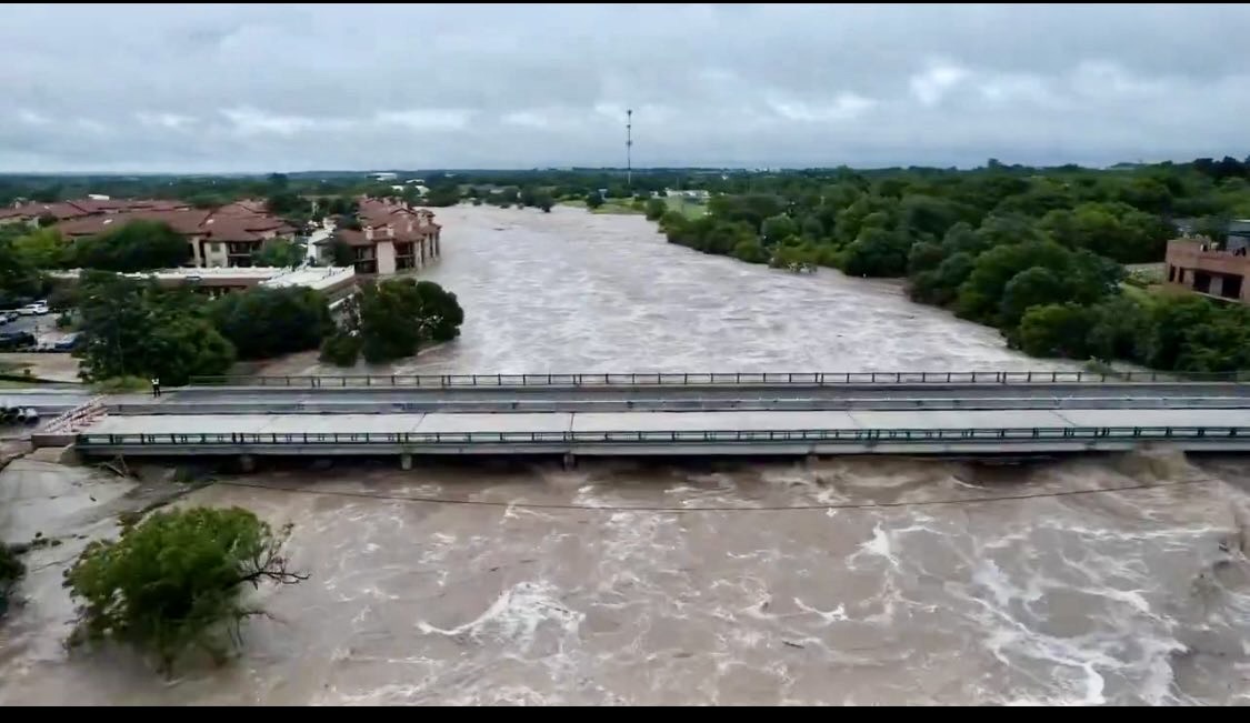
The latest data indicates significant geographical variation, with events like prolonged droughts in the southwestern U.S. and southern Europe, and intense flooding in regions like sub-Saharan Africa with Lake Victoria’s record levels in 2020 being a good example.
The data also highlights abrupt shifts between extreme wet and dry conditions within short timeframes, termed “hydroclimatic whiplash,” which exacerbate challenges for water management, agriculture, infrastructure, bio-diversity and human health. The Royal Meteorological Society have warned that such rapid transitions from one extreme to the other caused more harm than the individual events alone.
While the increased intensity of weather events has been long predicted, we are now seeing such events in a very stark and real way.